Sula
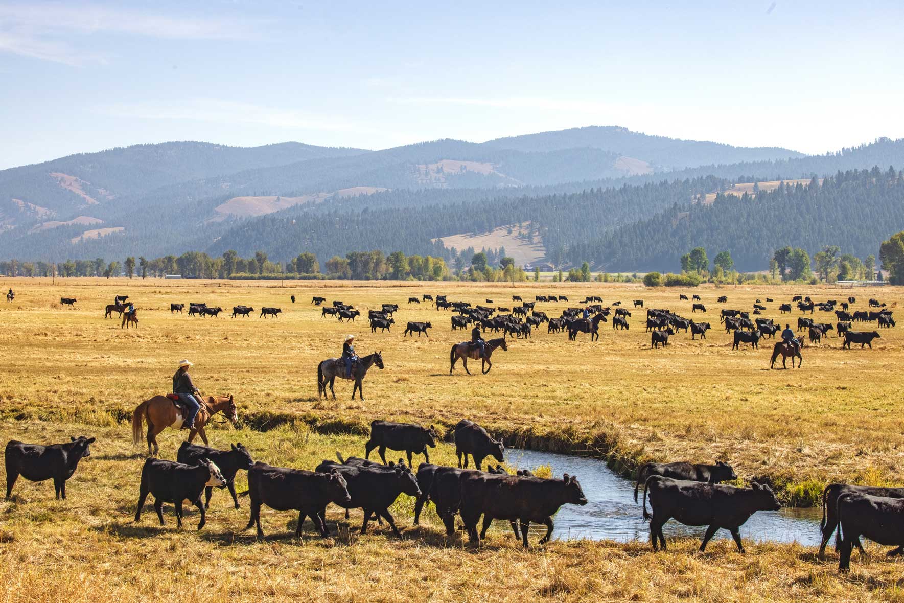
Sula sits in the lower Bitterroot, where the valley narrows and the landscape grows wilder. The East Fork of the Bitterroot River runs cold and clear through open river terraces and dark timber, with strong morning and late-day light. To the west, the Anaconda–Pintler Wilderness rises in layered ridgelines.
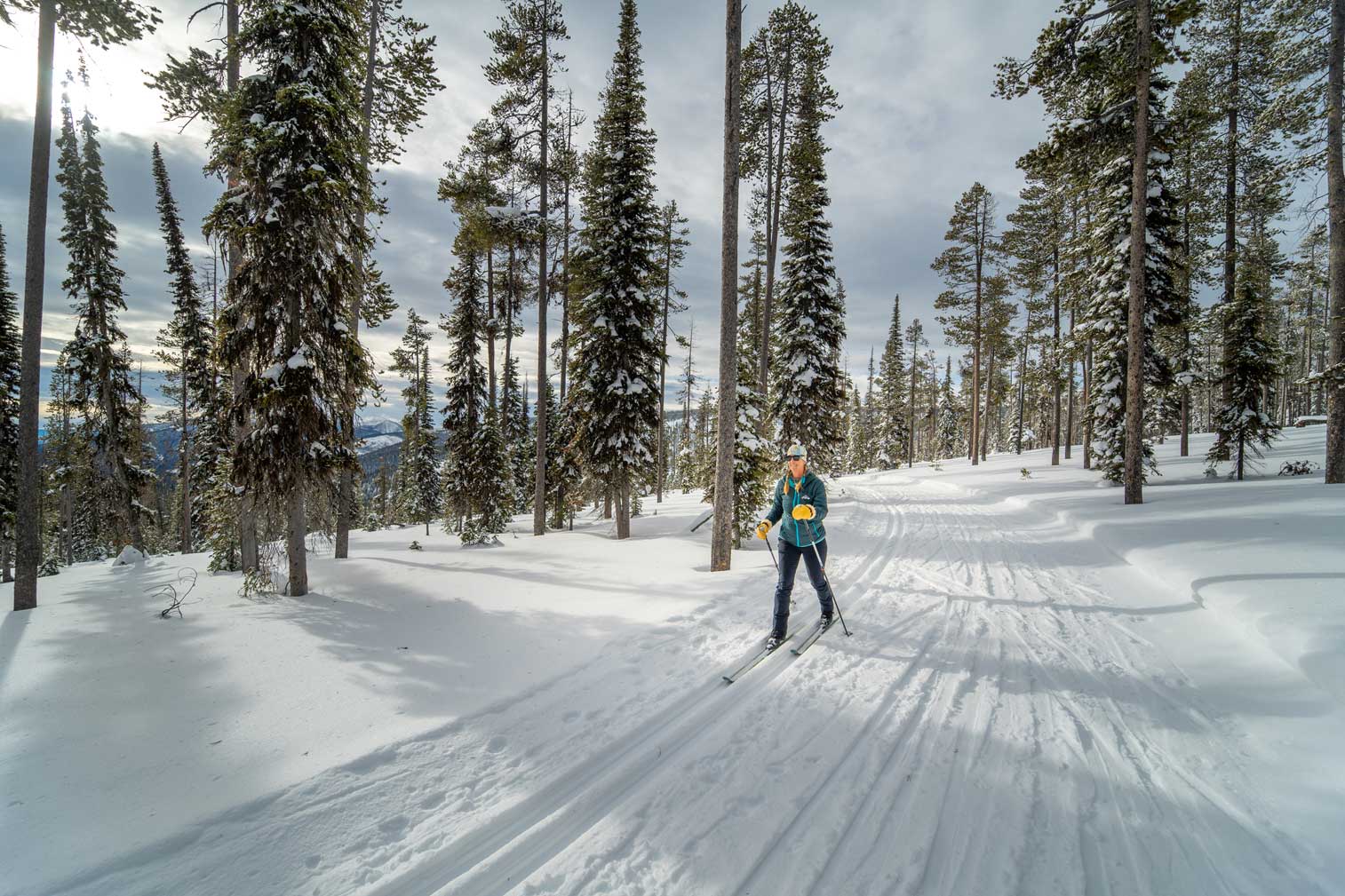
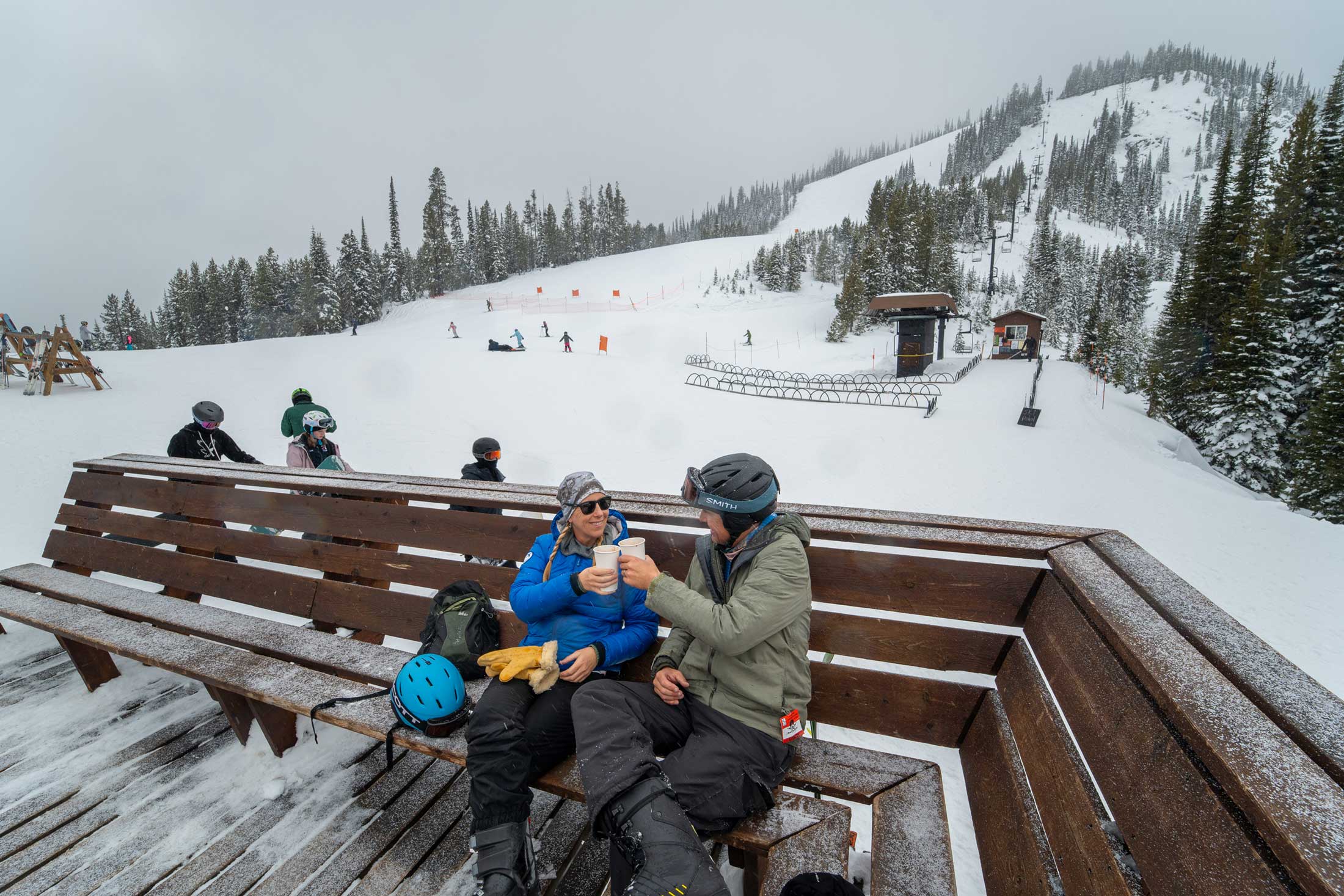
Chief Joseph Pass (7,251’) follows the Continental Divide and marks the site of the 1805 meeting at Ross’ Hole between Lewis and Clark and the Flathead Tribe. Today, the Chief Joseph Pass Nordic Ski Trails and the Continental Divide Trail cut clean lines through high-elevation terrain. Lost Trail Powder Mountain ski area is just beyond Chief Joseph Pass.
Lost Trail Hot Springs is tucked into a forested canyon, its pools and steam offering a quiet, enclosed setting. In warmer months, the East Fork of the Bitterroot provides scenic, technical fly-fishing water with long stretches of public access.
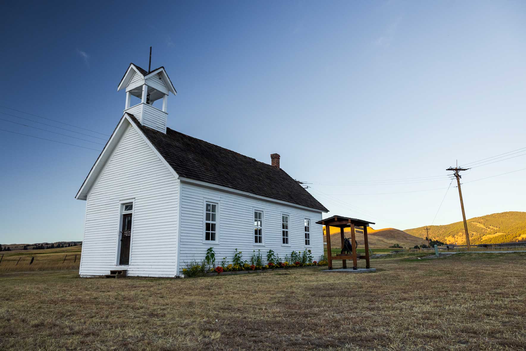
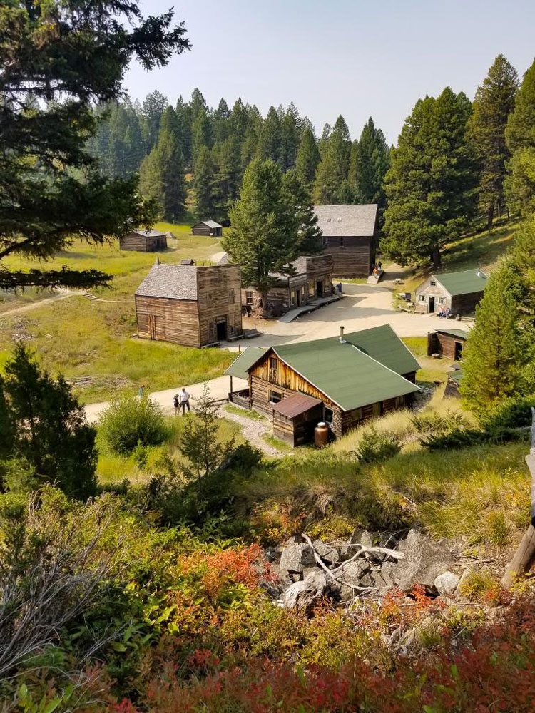
Around Sula, simple, weathered structures carry clear period character: the historic Sula schoolhouse, East Fork Guard Station, Medicine Point Lookout, McCart Lookout, and Two Good Cabin. In winter, the Lost Trail Snowpark Trailhead opens into ungroomed backcountry terrain that moves from tight timber to open bowls.
Visitor + Business Information
Government
Fire + Safety
Hospitals
- Bitterroot Health (Hamilton) (Hamilton) – 35.5 miles from Sula
Transportation
- Missoula Montana Airport – 85 miles from Sula, offering nonstop flights to major U.S. cities, including Los Angeles
- Paint Creek Ranch Airport
Population
36 (2022)
Elevation
4.422’
Climate
Jan | Feb | Mar | Apr | May | Jun | Jul | Aug | Sep | Oct | Nov | Dec | |
Average High | 34 | 40 | 48 | 56 | 64 | 73 | 82 | 82 | 73 | 60 | 43 | 33 |
Average Low | 11 | 14 | 21 | 26 | 33 | 39 | 41 | 39 | 32 | 25 | 19 | 11 |
Public Lands
- Bureau of Land Management, Missoula Field Office
- Bitterroot National Forest Supervisor’s Office
- Montana Department of Natural Resources & Conservation (DNRC)
- Montana Fish, Wildlife & Parks, Region 2 Headquarters
Accommodations
Nearby Hamilton offers a large number and wide array of accommodations, including bed-and-breakfasts, hotels, motels, lodges, vacation homes and RV parks. Click here for options.